Safe Distances Between Wells and Hazardous Materials
To keep your water safe, follow these key guidelines:
- Chemical Storage: Store chemicals far from wells to prevent contamination. Exact distances depend on local regulations.
- Agriculture: Keep wells away from livestock, manure, and pesticide areas. Adjust distance based on land slope, soil, and rainfall.
- Flood Zones: Place wells above floodplain levels to avoid contamination during heavy rains.
Other Factors:
- Land Slope: Wells should be uphill from hazards since water flows downhill.
- Soil Type: Sandy soils spread contaminants faster than clay-rich soils.
- Climate: Heavy rain or freeze-thaw cycles may require extra spacing.
Safety Tips:
- Test well water regularly.
- Store hazardous materials in approved containers far from wells.
- Respond quickly to spills and notify local agencies.
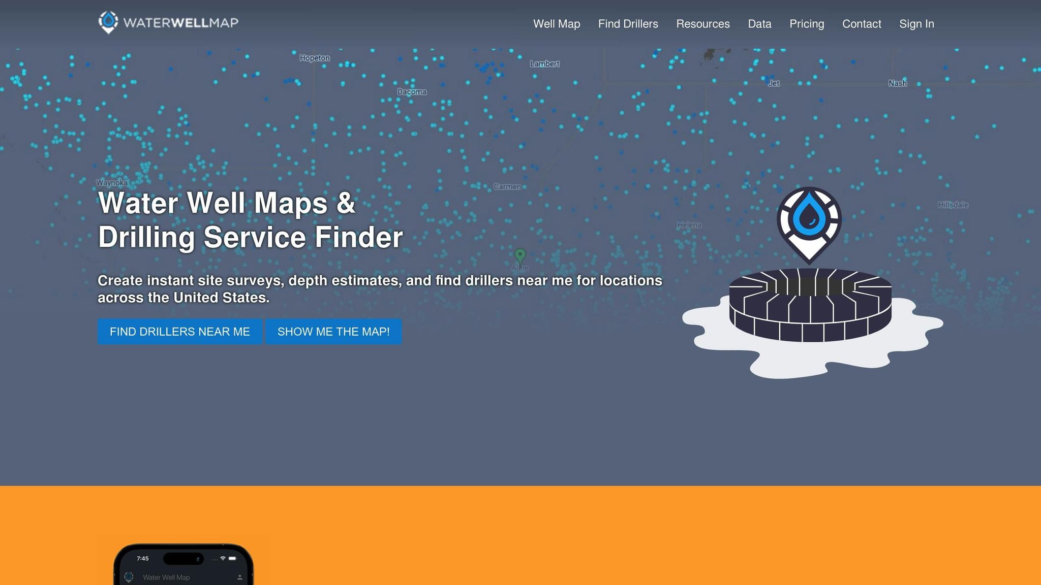
Use tools like Water Well Map to plan well placement, ensure compliance with federal and state rules, and protect groundwater.
3:1 Contaminant Transport - Diffusion, dispersion, advection
Required Safety Distances
It's essential to follow local guidelines and consult experts when determining safe distances between water wells and potential contamination sources. Below are general recommendations for different types of hazards.
Chemical Storage Distances
Keep chemical storage areas far enough from water wells to minimize the risk of contamination. The exact distance depends on the type of chemicals and local regulations, but the goal is to prevent spills or leaks from reaching the well. Always check with your local health department for specific requirements before deciding on well placement.
Farm and Agriculture Setbacks
Position wells away from livestock areas, manure storage, and locations where agricultural chemicals are used. Setback distances are designed to address risks from direct contamination and surface runoff. These distances can vary depending on factors like the size of the operation, rainfall levels, and land slope. Be sure to review local regulations to determine the appropriate distance for your site.
Keep in mind that regulatory setback distances are often the minimum required. Factors such as soil composition, groundwater flow direction, and the shape of the land might call for even larger buffer zones to ensure better protection of groundwater resources.
Site Placement Factors
Setback guidelines provide a starting point, but local terrain and climate play a big role in refining well placement for safety. Factors like land slope, soil type, and weather conditions all contribute to ensuring proper placement.
Land Slope and Water Flow
The slope of the land determines how contaminants might travel through soil and groundwater. Wells placed uphill from potential contamination sources are generally safer since water naturally flows downhill, carrying contaminants away. Adding effective drainage systems can offer even more protection. Tools like Water Well Map site surveys can provide detailed assessments of these factors for specific locations.
Ground Composition
The type of soil around a well significantly influences how contaminants move. Sandy soils or fractured rock allow contaminants to spread more quickly, while clay-rich soils slow their movement. Understanding the local soil composition is key to setting the right distance between wells and potential hazards to maintain water safety.
Climate Impact
Weather and seasonal changes also affect well safety. Heavy rainfall can speed up groundwater movement, making it necessary to increase the distance between wells and hazardous materials. In flood-prone areas, wells should always be located above floodplain levels. For regions with freeze-thaw cycles or dry periods, extra spacing is often needed due to shifting soil conditions. Local climatic assessments, such as those provided by Water Well Map surveys, help ensure well placement strategies are tailored to specific environmental risks.
sbb-itb-e9f00dc
Safety Guidelines
Managing hazardous materials near water wells is crucial to keeping groundwater clean and ensuring safe drinking water. These steps build on earlier discussions about site placement and other factors, offering practical ways to protect water quality.
Storing Hazardous Materials
Keep hazardous materials in approved containers and store them in designated areas far from water wells. Tools like Water Well Map's site survey features can help you find the best storage spots while considering the landscape.
Regular Well Testing
Test water quality frequently for chemical and microbial contaminants. Be sure to increase testing after any event that might affect the safety of the well.
Responding to Spills
If a hazardous material spill happens near a water well:
- Act quickly to contain the spill.
- Alert local health and environmental agencies.
- Test the water quality as soon as possible.
Safety Requirements and Help
Government Rules
Federal and state regulations require specific safety measures to protect wells from hazardous materials. The Environmental Protection Agency (EPA) establishes baseline rules, while individual states often enforce stricter guidelines tailored to local needs.
Federal requirements include:
- Safe storage guidelines for chemicals
- Containment systems for hazardous substances
- Emergency response plans
- Monitoring standards and recommendations
State rules often focus on:
- Minimum distances from contamination sources
- Permits and standards for well construction
- Regular inspection schedules
- Maintenance protocols
Digital tools like Water Well Map make it easier to meet these requirements, helping streamline compliance with both federal and state standards.
Water Well Map Features
Water Well Map simplifies compliance and planning with the following tools:
Interactive Well Data
- Nationwide mapping of existing wells and their depths
- Color-coded depth visualizations for better insights
- Tools to guide well placement decisions
Professional Connections
- Access to qualified local well drillers
- Site surveys that include:
- Property boundaries
- Well locations
- Hazard zones
- Required setback distances
Simplified Compliance
- Generate PDF well maps for permit applications
- Document distances from contamination sources
- Manage quote requests efficiently
- Create detailed survey reports
Water Well Map combines interactive data, professional connections, and compliance tools to help property owners and well drillers make informed decisions and meet regulatory standards with ease.
Summary
Maintaining safe distances is crucial for protecting water quality and public health. This includes observing setback requirements for chemical storage, fuel tanks, septic systems, and agricultural activities.
Key steps involve following federal and state setback guidelines, assessing factors like land slope, groundwater flow, and soil type, and regularly testing wells. Hazardous materials should also be stored securely to minimize risks.
The Water Well Map platform simplifies well planning by offering tools for mapping well depths, conducting site surveys, and connecting with licensed drillers. By following these guidelines and using reliable tools like Water Well Map, you can help ensure the safety of your water resources.