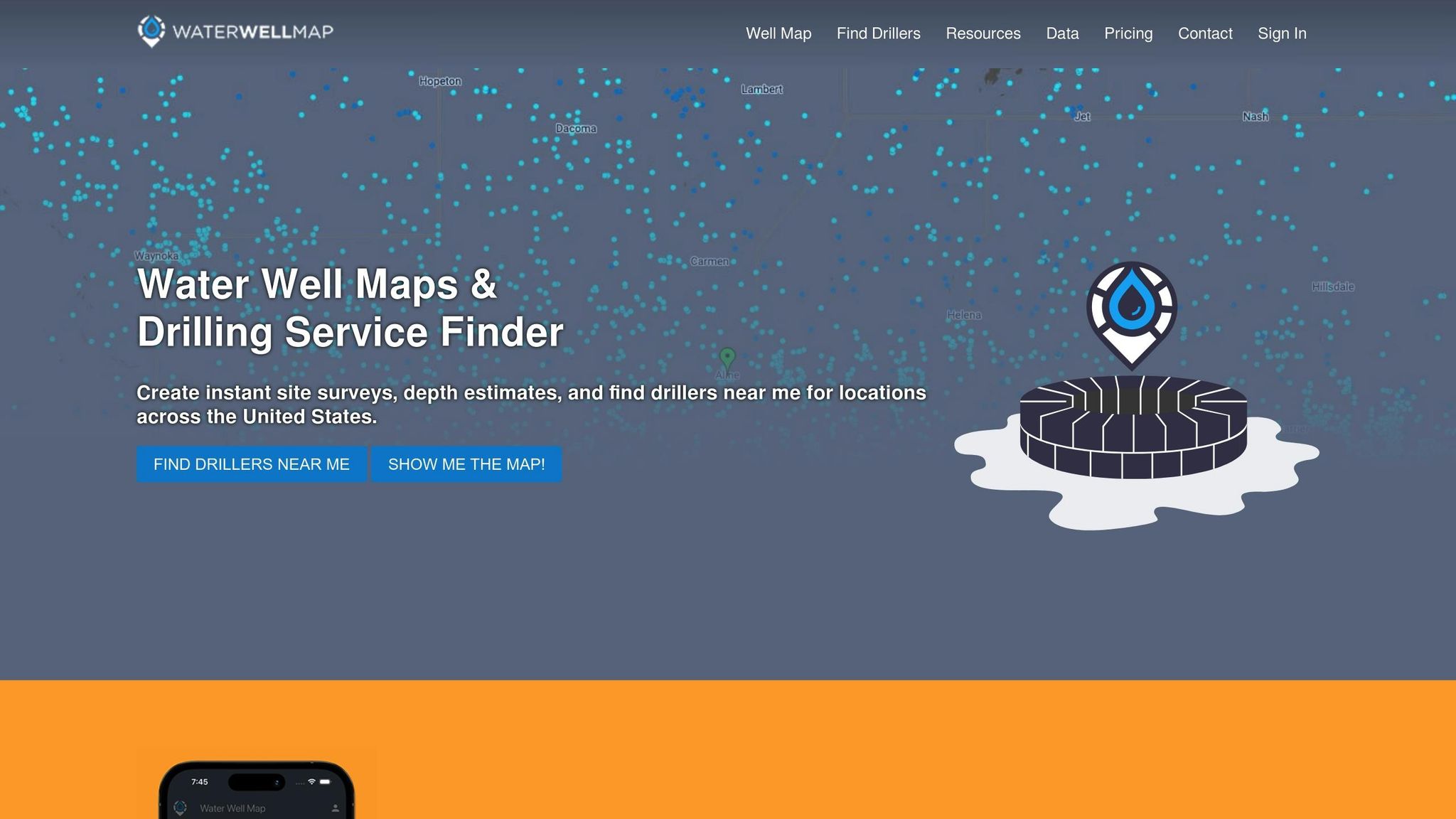
How to Access Historical Well Data Online
Accessing historical well data is easier than ever. With online tools and state databases, you can quickly find details like well depth, water yield, and drilling history. Whether you're a property owner or a well driller, these records help avoid costly mistakes and guide better decisions.
Key Steps to Access Well Data Online:
- State Databases: Search by property location, well type, or depth. Examples include Texas Water Development Board (TWDB) and Ohio's RBDMS.
- Water Well Map: Use this interactive tool to find wells across the U.S., view depths, and download reports.
- Gather Key Info: Before searching, collect property details (address, GPS coordinates) and well specifics (depth, type, installation date).
- Check Other Sources: If records are incomplete, explore county records, title reports, or contact local water agencies.
Pro Tip: Combine state databases with tools like Water Well Map for a complete picture of well data.
This guide walks you through finding and interpreting well records, ensuring you make informed decisions for your property or project.
How To Find Your Well Records And Completion Report
Where to Find Well Data Records
Accessing historical well data is now more convenient thanks to digitized records. Both state and federal databases provide online access to these records, giving users a wealth of information at their fingertips.
State Well Databases
State-level databases are a key resource for historical well records. They contain information like construction details, water quality, and drilling logs, all specific to their respective jurisdictions.
For instance, the Texas Water Development Board (TWDB) and Ohio's Risk-Based Data Management System (RBDMS) are examples of platforms that make it easy to search for well data. Users can filter results based on:
- Property location
- Well depth
- Installation date
- Drilling contractor
- Well type and purpose
Additionally, tools like Water Well Map enhance these databases by providing a visual representation of well depth patterns.
Government Agency Records
Federal and state agencies also maintain extensive well data archives. Agencies such as the New York Department of Environmental Conservation (DEC) and the Alaska Division of Geological & Geophysical Surveys (DGGS) offer access to:
- Historical drilling permits
- Water quality reports
- Groundwater monitoring data
- Well completion documents
Many of these agencies have digitized their records, offering online portals with interactive maps, downloadable files, digital well logs, and historical permits. This shift to digital platforms has made it easier for property owners and professionals to access detailed well data for better decision-making.
"In 2025, Water Well Map provides an interactive map to explore drilled water wells across the USA, color-coded to indicate depths above or below 100ft. The map provides well data, including location, depth and links to state reports where available".
Before You Start Your Search
Key Information to Gather
Collect these details to make your search more efficient:
- Property Location:
- Street address
- County and state
- Township, range, section numbers
- GPS coordinates (latitude/longitude)
- Tax parcel ID number
- Well Details:
- Approximate depth
- Type of well (domestic, irrigation, monitoring)
- Installation period
At a minimum, you'll need the property location and an estimated timeframe for drilling. Once you have this, dig deeper by researching your property's history.
Researching Property History
After gathering the basic details, focus on finding historical property information to refine your well record search.
-
County Records
Visit your local county assessor or recorder's website. These records often include:- Previous owner names
- Dates of property transfers
- Building permits
- Land use changes
Many counties now offer online access to these records. For instance, the Cook County Recorder of Deeds in Illinois provides decades of property records online.
-
Title Company Reports
Request a title search report. These reports include:- Ownership history
- Records of property transfers
- Easements and restrictions
- Permit documentation
-
Local Water Management Districts
Check with your local water management district for water-related records, such as:- Well permits
- Water rights
- Usage history
- Results from previous well tests
Focus on the period when the well was likely installed. This will help you narrow your search in state well databases and ensure you're working with accurate historical data.
| Document Type | Key Information | Where to Find |
|---|---|---|
| Property Deed | Owner history, property boundaries | County Recorder |
| Well Permit | Installation date, depth, contractor | State Water Agency |
| Title Report | Ownership chain, permits | Title Companies |
| Tax Records | Previous owners, property changes | County Assessor |
For older wells, keep in mind that some may predate permit requirements. You might need to cross-check several sources to piece together a full history.
How to Search Well Records Online
Once you have the property details, you can start looking for digital well records. Both state databases and specialized tools can help you access this information.
Searching Through State Databases
State databases may look different, but they usually follow a similar process for finding well records:
-
Visit the Database Portal
Go to your state’s water resources or environmental protection website. Look for sections like "Well Records", "Water Resources", or "Groundwater Data." You might need to register an account to access the portal. -
Input Search Details
Use the property address or coordinates to narrow your search. You can also filter by well type (like domestic or irrigation), date range, or permit numbers you’ve found in earlier research. -
Check Results
Review the list of wells, confirm details like locations and dates, and download any available documents.
For a more interactive experience, consider using specialized platforms alongside state databases.
Exploring Water Well Map
Water Well Map simplifies the process of finding well data with its user-friendly, interactive platform. It provides detailed well information for locations across the U.S. Here’s how it works:
-
Start Your Search
Open the Water Well Map application and input your property location. The map will display nearby wells, including depth indicators for quick reference. -
Dive Into the Details
Use the map to explore well data, including:Data Type Details Provided Location Exact coordinates and property info Depth Approximate depth of the well Site Details Property-specific and well details -
Create Site Surveys
Generate detailed site surveys for up to 10 nearby wells. These surveys include average depths, property details, and even a PDF map of the wells.
Water Well Map works on web browsers and mobile devices (available on the App Store and Google Play). For the most thorough results, use it in combination with state databases.
sbb-itb-e9f00dc
Reading Well Data Records
Understanding Well Logs
Well logs contain essential details such as purpose, depth, yield, geology, and construction, which are crucial for making informed decisions.
| Component | Description | Why It Matters |
|---|---|---|
| Well Purpose | Domestic, irrigation, or commercial use | Shows how the water will be used |
| Total Depth | Distance in feet from surface to bottom | Helps estimate drilling expenses |
| Tested Yield | Gallons per minute (GPM) flow rate | Indicates the well's water output |
| Rock Layers | Geological formations encountered | Identifies potential water sources |
| Construction | Casing type, size, and method used | Reflects the quality of construction |
Pay close attention to depth measurements. The Water Well Map uses a 100-foot depth threshold, with color-coding to highlight patterns in well depths.
Making Decisions with Well Data
Historical well records are valuable for property evaluations and planning new wells. Interpreting these logs provides insights that can guide your decisions.
Depth Analysis
Reviewing local well depths helps estimate drilling requirements. The Water Well Map's color-coded system makes it easier to see whether most wells in your area are deeper or shallower than 100 feet.
Water Availability
Nearby well yields can help you evaluate water production potential. This information is useful for:
- Determining if water supply will meet your needs
- Planning pump systems
- Estimating associated costs
Location Planning
Well location data can assist in:
- Identifying the best spots for drilling
- Avoiding areas with known issues
- Ensuring compliance with setback regulations
Keep in mind that water tables can fluctuate over time. To get a clearer understanding of the area's water resources, consider conducting a site survey that incorporates data from multiple nearby wells.
Fixing Common Search Problems
Searching for historical well data online can be tricky. Here’s how to tackle common issues and improve your chances of finding the information you need.
Missing or Incomplete Records
If records seem incomplete or missing, try these steps:
-
Reach Out to the State Water Department
Provide details like your property address, approximate construction date, known owner names, or permit numbers to help them locate the data. -
Check Property Documents
Look through property deeds, building permits, land surveys, or real estate disclosures. These documents might contain useful well-related information. -
Talk to Local Experts
Local well drillers or service companies often have insights into well history that might not be documented elsewhere.
If these steps don’t provide the full picture, consider using digital tools to fill in the gaps.
Data Access Challenges
State databases can sometimes lack detailed information. In such cases, tools like Water Well Map can help by offering:
- Interactive maps with well locations
- Depth estimates for wells
- Direct links to state reports for further details
Search Optimization Tips
To get better search results, follow these tips:
- Combine multiple search criteria for more precise results.
- Start with broad searches and gradually narrow them down.
- Keep track of your searches to avoid repeating the same steps.
If you encounter technical issues during your search, contact the state agency’s support team during their business hours for assistance.
Keep in mind that older wells often have less detailed documentation due to changes in recording practices over time. Combining information from various sources is key to piecing together a complete history. Use these strategies alongside your usual search methods for a smoother and more effective data retrieval process.
Summary
Accessing historical well data online can be straightforward with the right approach and tools. State databases provide detailed records, especially when you use precise search criteria. Tools like Water Well Map make the process even easier by offering an interactive way to visualize well locations and depth information.
Here’s how to conduct a thorough well data search:
- Prepare: Gather property and well details in advance.
- Search: Use state databases with specific parameters to refine your results.
- Use Tools: Water Well Map helps visualize depth and location data interactively.
If basic searches don’t cover everything, Water Well Map also provides:
- Interactive maps with depth details
- Tools for generating site surveys
- Direct links to state documents
Combining official records with digital tools ensures a more complete understanding of well characteristics for any location.
FAQs
How can I verify the accuracy and completeness of historical well data found online?
When reviewing historical well data online, keep in mind that the quality and detail of the information can vary depending on the source. To ensure accuracy, look for platforms that provide comprehensive and regularly updated data. For example, some tools offer features like well location, depth estimates, and additional resources to help verify the information.
Cross-referencing data with state or local records can also enhance reliability. Always use trusted sources and tools that prioritize accuracy and transparency in their datasets.
What are the common challenges of finding historical well data online, and how can you address them?
Finding historical well data online can sometimes be tricky due to issues like limited data availability, incomplete records, or difficulty navigating complex databases. These challenges can make it hard to locate accurate and reliable information.
To simplify the process, platforms like Water Well Map offer a user-friendly interface that allows you to explore well data, estimate well depths, and even generate detailed site surveys. This makes accessing historical well data more straightforward and efficient, helping you connect with the resources and professionals you need.
Why should I gather property and well details before searching for well records online?
Gathering property and well details beforehand is essential because it helps narrow down your search and ensures accurate results. Key details like the property address, well depth, drilling date, and nearby landmarks can make it easier to locate specific records in online databases or state resources.
Having this information ready also saves time by reducing guesswork and helps you make the most of tools like interactive well maps, which often require precise inputs to generate reliable data.